Darling River

The Darling River is the third-longest river in Australia, measuring 1472 kilometres from its source in northern New South Wales to where it joins with the Murray River at Wentworth, New South Wales. The Darling River is the outback’s most famous waterway.

Although there were hopes that the Darling River could be used for navigation throughout much of the outback, water flows proved unreliable. For example, the paddle steamer Jane Eliza took 3 years (from 1883 to 1886) to complete a voyage between Morgan in South Australia and Bourke in New South Wales.

With the use of Menindee Lakes for water conservation, dams and weirs on the Darling River made navigation north of Menindee impossible.

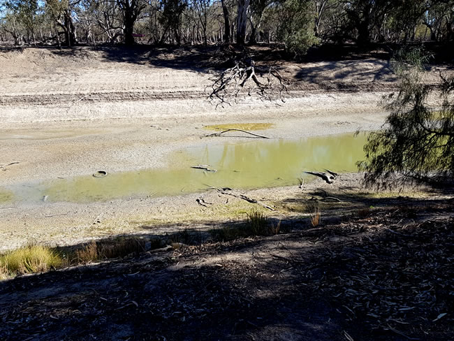
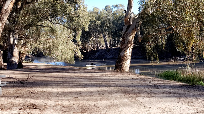
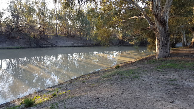
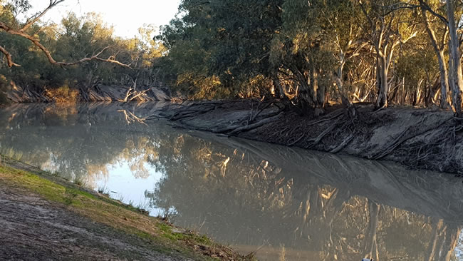
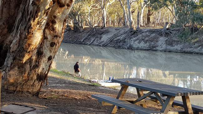
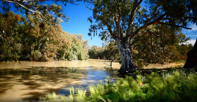
Both droughts and floods affect the Darling, as can be seen from the pictures below. Mismanagement also plays a significant part, with excessive water use being a major problem. The Darling River is part of the Murray / Darling catchment area, which spreads across four states – Queensland, New South Wales, Victoria, and South Australia. Different government requirements in each state, plus the role of the federal government, make good and wise regulation of the Murray Darling river system difficult!

Aussie Stories - telling about Australia in words and pictures

The dry Darling! In 2019 there had been a drought for a number of years and the Darling River was dry. Just a few pools along the river bed.
The dry Darling! In 2019 there had been a drought for a number of years and the Darling River was dry. Just a few pools along the river bed. At Pooncarie, NSW. August 2019.
Copyright © Willem Schultink.

The Darling river south of Menindee Lakes at Pooncarie is dry in 2019, after some years of drought. The Menindee Lakes to the north were also dry, with the exception of the small Lake Copi Hollow.

A Hema regional map is the ideal way to find your way around outback NSW.

The dry Darling! You can see the dry river bed through the trees where the Darling River passes through the township of Pooncarie.
The dry Darling! You can see the dry river bed through the trees where the Darling River passes through the township of Pooncarie. August 2019.
Copyright © Willem Schultink.
The fisherman returns! Having water in the river means that fishing becomes possible again.
Going fishing! Having water in the river means that fishing becomes possible again. There is a boat ramp a few hundred metres downstream. The change in just nine months is dramatic. Nine months ago, at this spot, there were cars driving on the dry river bed. June 2020.
Copyright © Willem Schultink.

A Hema regional map is the ideal way to find your way around outback NSW.

Morning light on the Darling River at the main campsite.
Morning light on the Darling River at the main campsite. June 2020.
Copyright © Willem Schultink.

Although many of our contributors use professional camera equipment such as the Nikon Coolpix 1000, at ThisisAustralia we usually use our mobile phone cameras. A Samsung Galaxy Note 10 +, which has been great, and we will continue to use. We have also just purchased a Samsung S21 Ultra. This has been described as an ‘insanely brilliant camera with a phone attached’. So we are expecting some really good quality pics! Some of our contributors have also used the iPhone 13 with good success.

Peaceful reflections on the water of the Darling River.
Peaceful reflections in the afternoon sunlight on the water of the Darling River. By June 2020 the river was full and flowing. Picture taken from the campsite near Pooncarie. June 2020.
Copyright © Willem Schultink.

A Hema regional map is the ideal way to find your way around outback NSW.

Pooncarie is an ideal place top come for a picnic, do some fishing...
Pooncarie is an ideal place top come for a picnic, do some fishing… It is about an hour’s drive from Wentworth on a sealed road. June 2020.
Copyright © Willem Schultink.
By September 2022 the Darling River was in flood!
Just two years later the Darling River was in flood! Major rain in NSW and Queensland meant widespread flooding. The Menindee Lakes were full. At least there was enough water to fill the dams! September 2022. This pic with thanks to user Budgie 58 on WikiCamps.

A Hema regional map is the ideal way to find your way around outback NSW.

Aussie Stories - telling about Australia in words and pictures

Aussie Stories - telling about Australia in words and pictures

All the labels you use every day, with excellent service! EveryLabels.com.au

We love our Microsoft Surface Book computers. They are lightweight, sturdy, powerful, and have excellent battery life.

Although many of our contributors use professional camera equipment such as the Nikon Coolpix 1000, at ThisisAustralia we usually use our mobile phone cameras. A Samsung Galaxy Note 10 +, which has been great, and we will continue to use. We have also just purchased a Samsung S21 Ultra. This has been described as an ‘insanely brilliant camera with a phone attached’. So we are expecting some really good quality pics! Some of our contributors have also used the iPhone 13 with good success.