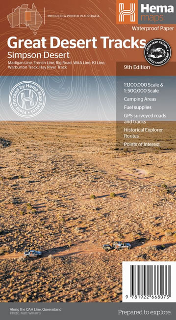
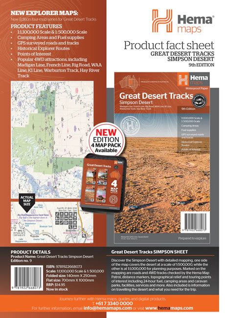

Description
Hema’s Great Desert Tracks maps are essential for anyone travelling in the Australian outback. The mapping features roads and 4WD tracks field-checked by the Hema Map Patrol, Points of Interest for remote area travellers and touring information for learning more about the region and planning your journey.
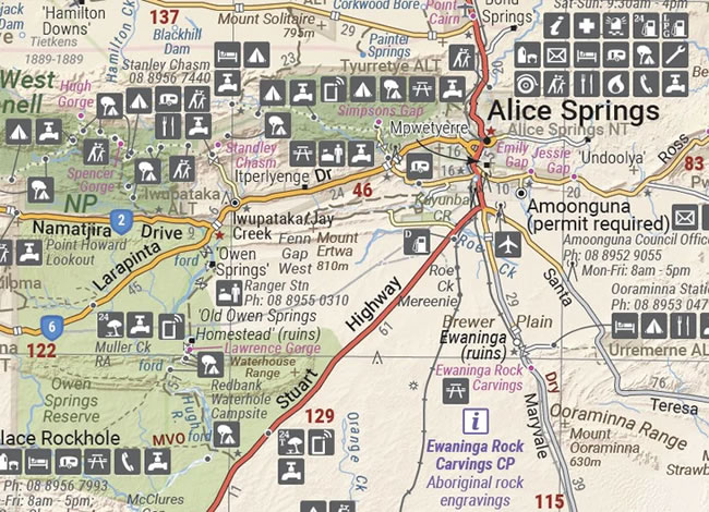
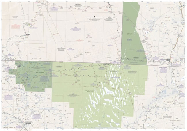
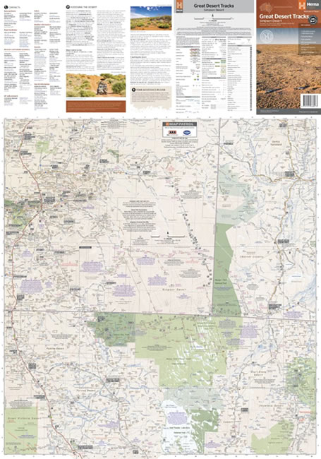
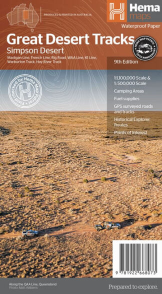
Discover the Simpson Desert with detailed mapping, relevant points of interest and essential touring information for the journey. One side of the map covers the desert at a scale of 1:500,000, while the other is at 1:1,000,000 for planning purposes. Marked on the mapping are roads and 4WD tracks checked by the Hema Map Patrol, distance markers, topographical relief and touring points of interest including 24-hour fuel, camping areas and caravan parks, facilities, services and more. Also included is information on travelling the desert, what you need for the trip and relevant contact information.
Tracks include:
- Madigan Line
- French Line
- Rig Road
- WAA Line
- K1 Line
- Warburton Track
- Hay River Track
Key Features
- All maps field checked by the Hema Map Patrol
- Printed on durable, waterproof paper
- Shows free camping areas
- Fuel supplies
- GPS surveyed roads and tracks
- Historical explorer routes
- Points of Interest
Key Specifications
- Edition: 9th
- Publication Date: 15/06/22
- Scale: 1:1,000,000 for planning and 1:500,000 for the desert
- Folded size (WxHxD): 140mm x 250mm x 6mm
- Flat size (WxH): 700mm x 1000mm
- Weight: 0.055kgs