The Joe Mortelliti Gallery, Simpson Desert, Northern Territory, Australia
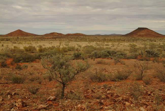
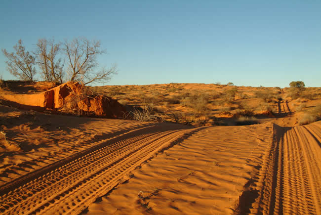
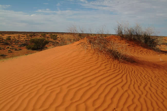
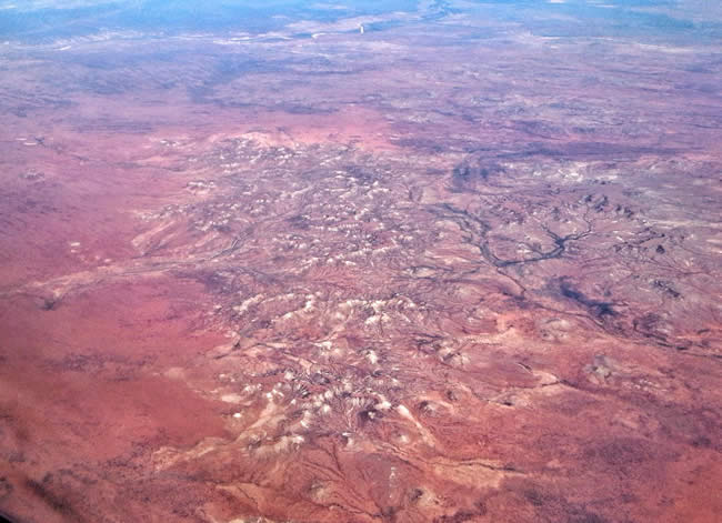
Outback Australia. The Simpson Desert spanning a territory and two states – the Northern Territory, South Australia and Queensland. Four hundred and sixty thousand acres. Vast spaces of enormous quiet. Sights you cannot see in urban Australia. Dry. Arid. Unforgiving. Yet beautiful, in it’s own stark way. Joe Mortelliti had the gift of capturing that beauty with his camera. Take a tour with these pics and descriptions and it will almost feel as though you’ve been there. Be careful … it might get you longing to go yourself!
Really useful info on tracks across the Simpson Desert from Diamantina Touring
 Joe Mortelliti‘s life long love, from when he was first given a Brownie camera as a boy, was photography. It was the focus of his work life for many years. He loved to travel with his wife Marion to as many parts of Australia as he could. He had the ability to ‘see’ the beauty of our land in such a way that he could photograph it for the delight of others. These photos are a legacy that he has left us. Used by permission and with appreciation.
Copyright © Joe Mortelliti Photography
To purchase a Hema Great Desert Tracks map of the Simpson Desert, click here.
Copyright © Joe Mortelliti Photography
Purchase your Australian Road and 4WD atlas here. Comprehensive touring information for all of Australia.
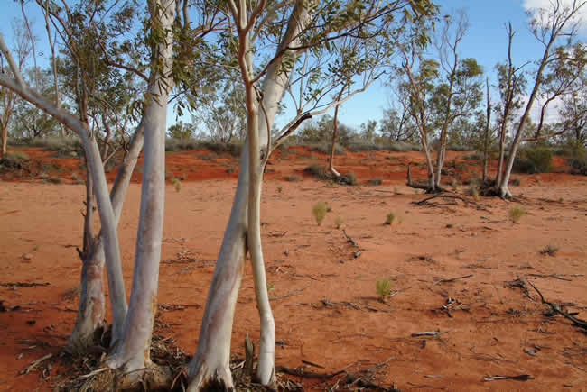
Copyright © Joe Mortelliti Photography
Copyright © Joe Mortelliti Photography
To purchase a Hema Great Desert Tracks map of the Simpson Desert, click here.
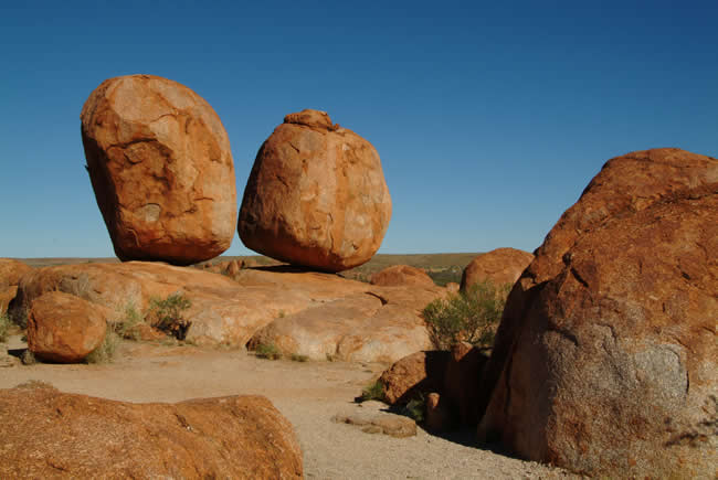
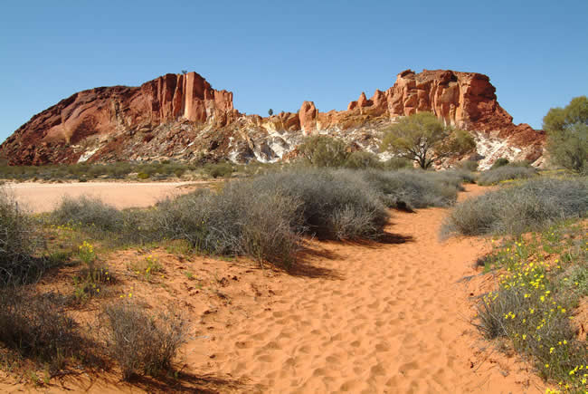
The original granite masses from which the ‘marbles’ were fashioned had three main sets of joint planes at right angles to one another, breaking each mass into rectangular blocks three by seven metres square. Erosion along the joints and the flaking away of thin slabs from the surface over long periods of time, has rounded the corners to the extent that most blocks are now egg-shaped or spherical. August 2005.
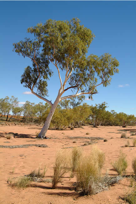
Copyright © Joe Mortelliti Photography
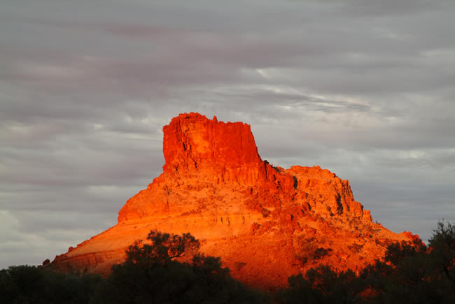
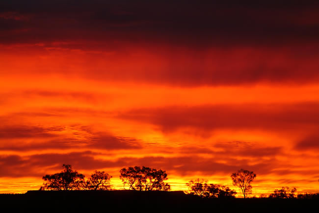
We crossed the North Simpson Desert and camped at Batton Hill, with traditional owner Lindsay Bookie. Lindsay took us for a short drive to Goyder’s Pillar, but with the skies heavily clouded we did not expect to get a photo. Suddenly the Pillar turned red for about 30 seconds as small gap in the clouds opened up. July 2005.
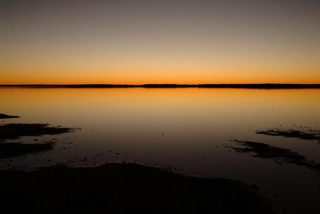
Copyright © Joe Mortelliti Photography
Purchase your Australian Road and 4WD atlas here. Comprehensive touring information for all of Australia.
Copyright © Joe Mortelliti Photography
To purchase a Hema Great Desert Tracks map of the Simpson Desert, click here.
Copyright © Joe Mortelliti Photography
Copyright © Joe Mortelliti Photography
Copyright © Joe Mortelliti Photography
Purchase your Australian Road and 4WD atlas here. Comprehensive touring information for all of Australia.
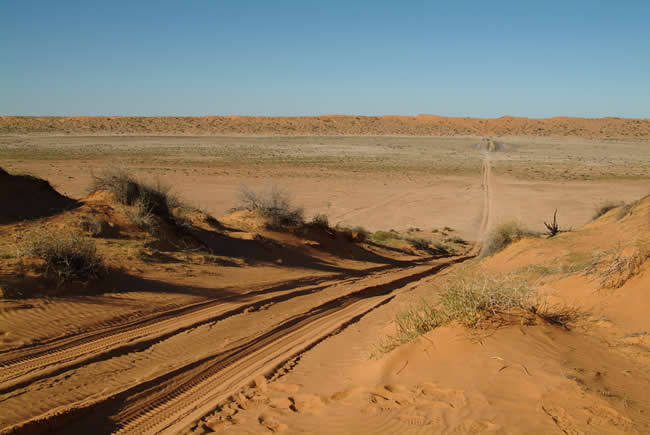
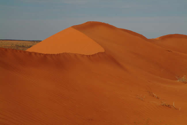
Big Red. Standing at 30 metres in height, this awesome sand dune provides a challenge for any four wheel drive enthusiast. This is the biggest and last dune to be crossed before entering Birdsville when traveling east. July 2005.
Copyright © Joe Mortelliti Photography
To purchase a Hema Great Desert Tracks map of the Simpson Desert, click here.
Copyright © Joe Mortelliti Photography
Oil discovered in the Simpson was waxy and congealed, of poor quality and therefore, as yet, of no commercial value. July 2005.
Copyright © Joe Mortelliti Photography
________________________________
How to use self adhesive labels? Click here for self adhesive paper labels info: Labels Information Page – Everylabels.com.au
________________________________
Copyright © Joe Mortelliti Photography
To purchase a Hema Great Desert Tracks map of the Simpson Desert, click here.
Copyright © Joe Mortelliti Photography
The original peg marking Poeppel Corner, as it is still known, was removed to Adelaide for preservation in 1962 and replaced by a replica. Some of Poeppel’s original mile posts and other historic markers can still be seen in the Park. July 2005.
Copyright © Joe Mortelliti Photography
Purchase your Australian Road and 4WD atlas here. Comprehensive touring information for all of Australia.
Copyright © Rob Duncanson.
To purchase a Hema map of Central Australia, click here
This page Copyright © ThisisAustralia.au
All the labels you use every day, with excellent service! EveryLabels.com.au