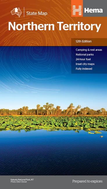
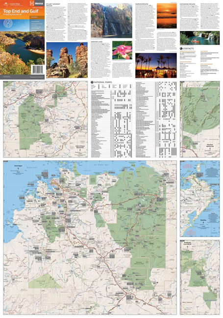
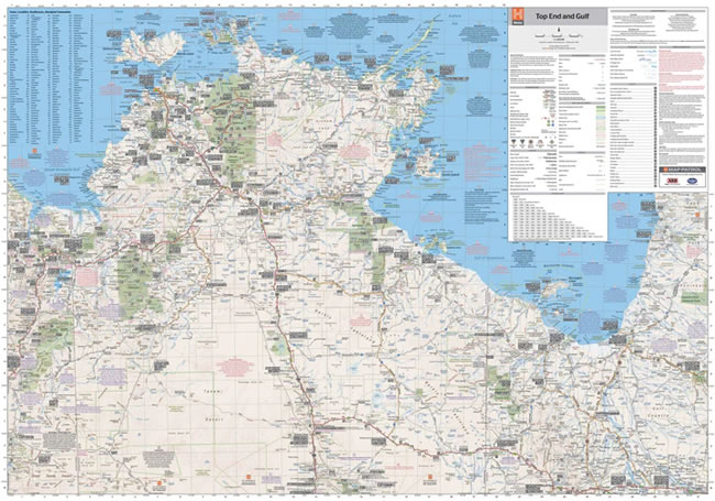
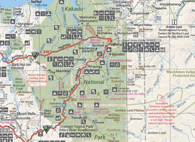
Description
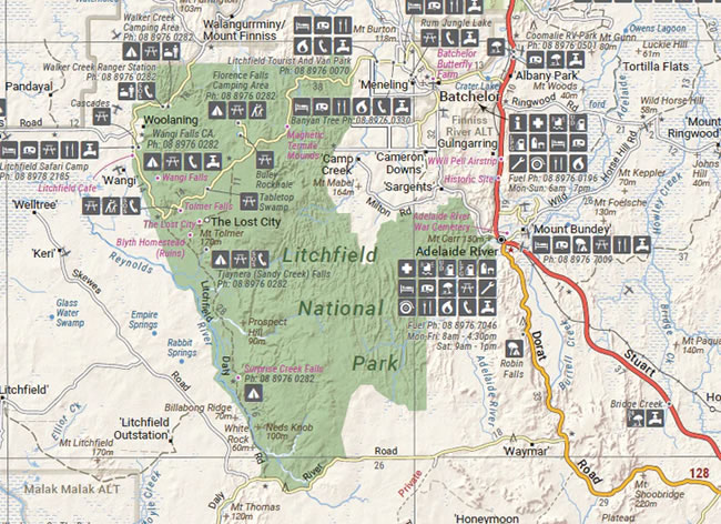
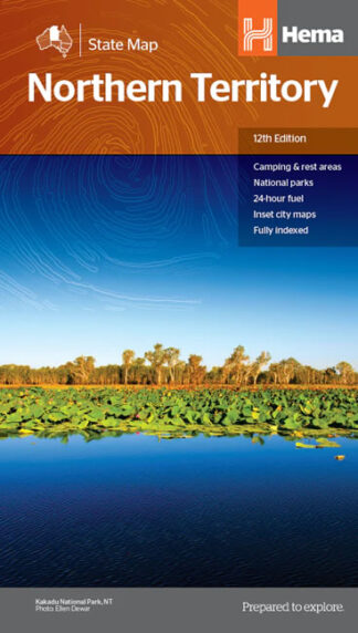
A map of the Northern Territory that has camping and rest areas, 24 hour fuel and points of interest. On the reverse are through road maps of Darwin and Alice Springs, and a map of the greater Darwin region. For trip planning, there is a national park matrix and contact details for information centres.
Key Features
- GPS surveyed roads and tracks
- Fuel stops 4WD tracks
- Camping areas
- Historic sites
- Detailed inset maps
- Waterproof/Durable paper
Key Specifications
- Edition: 12th
- Publication Date: 28/10/19
- Scale: 1:1,800,000
- Folded size (WxHxD): 140mm X 250mm x 3mm
- Flat size (WxH): 700mm X 1000mm
- Weight: 0.09kgs