Minyip in the Wimmera

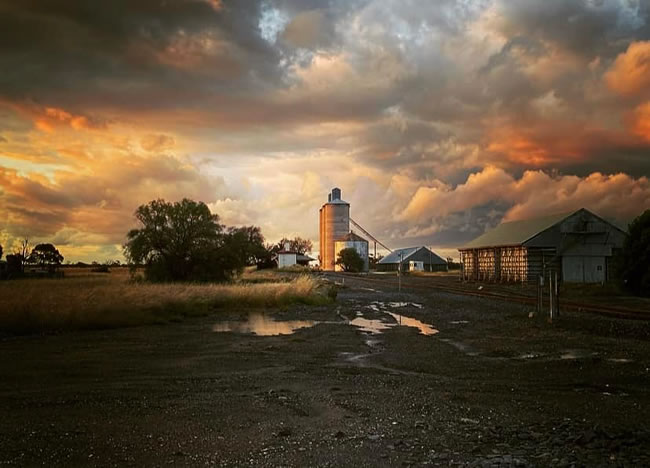
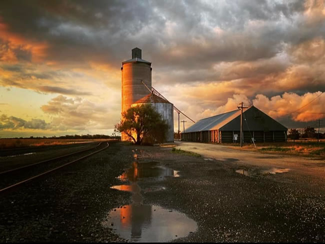
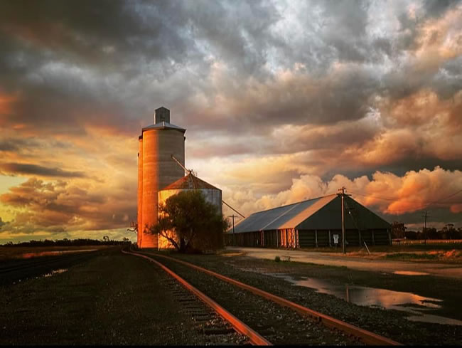
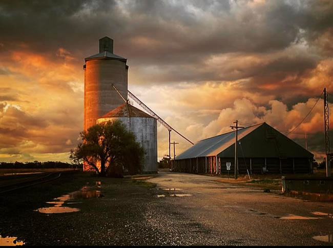
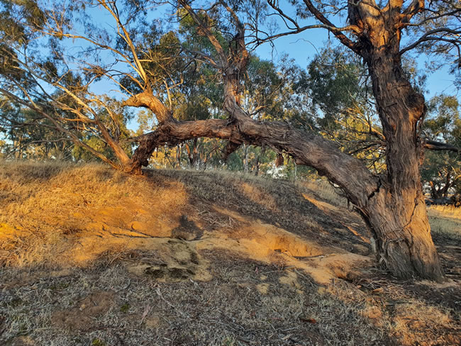
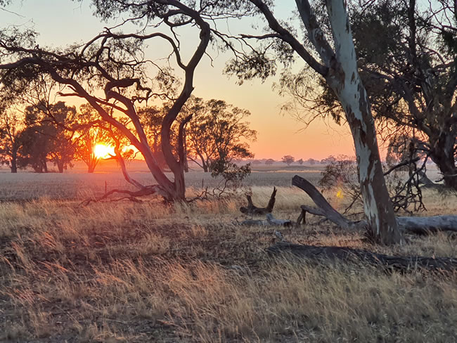
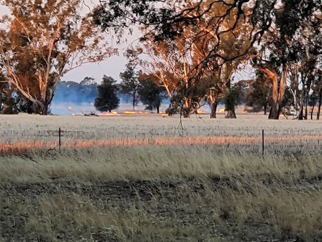
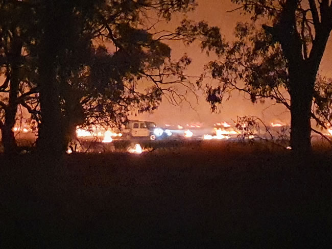
Minyip is a country town near Warracknabeal in Victoria’s Wimmera district. And it has been affected by the recent storms and rains.

Anne Taylor is a resident of Minyip and she took some amazing photos of a stormy sunset with her drone. The first four photos on this page were taken by Anne. We use them by permission and with appreciation.

Aussie Stories - telling about Australia in words and pictures

Wrack of clouds over Minyip, in Victoria's Wimmera district. The evening light gives a wildness to the scene!
Wrack of clouds over Minyip, in Victoria’s Wimmera district. The evening light gives a wildness to the scene! November 2022. Copyright © Anne Taylor
The railway line leads to the silos in the evening light at Minyip.
The railway line leads to the silos in the evening light at Minyip. Groundwater lying everywhere gives an indication of the wet weather lately. November 2022. Copyright © Anne Taylor
Sunset in Minyip. Great photo by Anne Taylor
Anne Taylor lives in Minyip, and she used her drone to capture these magnificent photos of a sunset during the interesting weather we have been having in Victoria. November 2022. Copyright © Anne Taylor

Victoria State Map – This is Australia! A great and useful travellers’ map of Victoria

Clouds and rain and the sunset light at Minyip in Victoria.
Sunset lights up the clouds and the silos during the interesting weather we have been having in Victoria. The setting sun coming under the clouds lights up the different clouds with a range of moody colours. November 2022.
Copyright © Anne Taylor
The tree branch is cracked and broken, but the dam wall is holding it up.
The tree branch is cracked and broken, but the dam wall is holding it up. At a quiet campsite south of Minyip, Victoria. March 2022 Copyright © Willem Schultink
Sunset on a quiet evening south of Minyip. Just before the fires...
Sunset on a quiet evening south of Minyip. Just before the farmers started their stubble fires. We had set up at a free campsite between some farms, and the rural scene was lovely. Copyright © Willem Schultink

Victoria State Map – This is Australia! A great and useful travellers’ map of Victoria

Lighting the stubble fires near Minyip just before dusk.
Lighting the stubble fires near Minyip just before dusk. The trees are lit up by the evening light. March 2022
Copyright © Willem Schultink

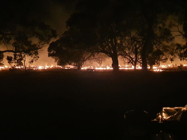
Stubble burning is used to prepare the soil for seeding. It removes the stubble and turns it into ash which is ploughed in just before seeding is begun. It has some real advantages for seeding time, but there is a risk of erosion if there are either floods or strong winds in the short space of time between the stubble burning and the beginning of the crop growing.

Farmers tend the stubble fire near Minyip. March 2022
Farmers tend the stubble fire near Minyip. The farmers were there all night. March 2022
Copyright © Willem Schultink
Late in the night the farmers were still carefully watching the stubble fire.
Late in the night the farmers were still carefully watching the stubble fire. We were ringed with fire! This pic was taken after midnight, and the farmers were constantly patrolling along the edge of the paddock. March 2022.
Copyright © Willem Schultink

Aussie Stories - telling about Australia in words and pictures

All the labels you use every day, with excellent service! EveryLabels.com.au

Victoria State Map – This is Australia! A great and useful travellers’ map of Victoria