The Menindee Lakes are located about 110 kilometres south east of Broken Hill, in western NSW.
Aboriginal people have lived in the Menindee Lakes area for thousands of years. In a very arid and dry area, the Menindee Lakes and Darling River became a lifeline for early European explorers. Major Thomas Mitchell, Charles Sturt and Bourke and Wills all used the lakes on expeditions between 1835 and 1860.
Although there were hopes that the Darling River could be used for navigation, water flows proved unreliable. For example, the paddle steamer Jane Eliza took 3 years (from 1883 to 1886) to complete a voyage between Morgan in South Australia and Bourke in New South Wales.
Using the Menindee Lakes for water conservation was first proposed in 1894, but it wasn’t until 1949 that the Menindee Water Conservation Act was passed in the New South Wales parliament, and work started. Major works were finished in 1960 and were completed in 1968.
For many years the Menindee Lakes were used a the main water supply to Broken Hill, but in recent years a pipeline from Broken Hill to Wentworth was built to give Broken Hill a more secure water supply.
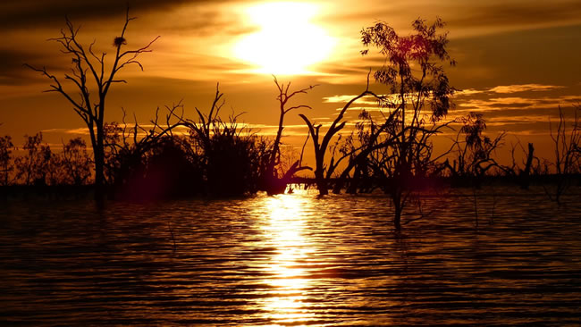
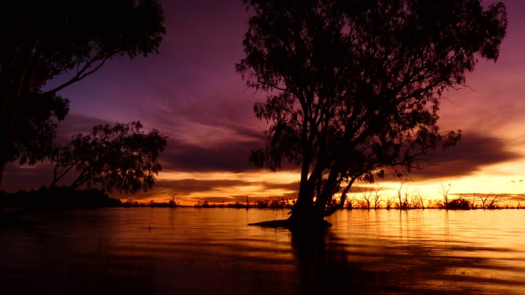
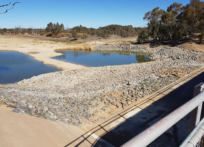
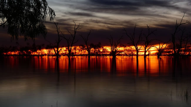
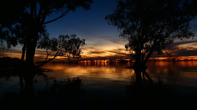
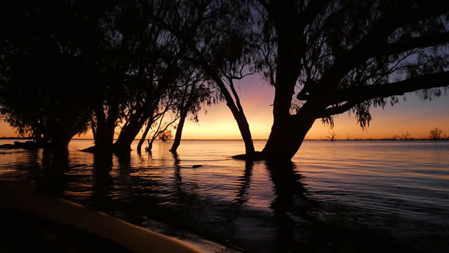
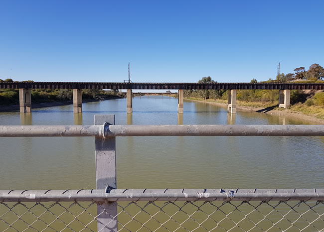
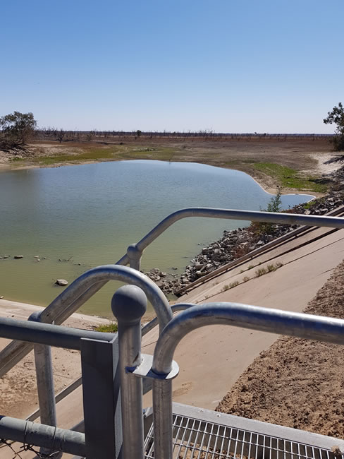
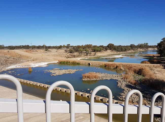
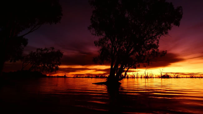
In times of drought the Menindee Lakes can be very dry and empty, and in times of plentiful rain they can be full. At present – October 2022 – they are at about 120% of normal capacity. But in whatever mood the lakes are, they are a magnificent place to visit.
A Hema regional map is the ideal way to find your way around outback NSW.

A Hema regional map is the ideal way to find your way around outback NSW.
_________________________________
If you would love to visit places like this, but have mobility issues, you might like to visit the Overlander Mobility website. Give yourself a 5% discount by entering this discount code – TIA-5 – when you make an enquiry with Overlander Mobility.
_________________________________
Copyright © Ian Collins.
A Hema regional map is the ideal way to find your way around outback NSW.
A Hema regional map is the ideal way to find your way around outback NSW.
Copyright © Willem Schultink.
_________________________________
If you would love to visit places like this, but have mobility issues, you might like to visit the Overlander Mobility website. Give yourself a 5% discount by entering this discount code – TIA-5 – when you make an enquiry with Overlander Mobility.
_________________________________
A Hema regional map is the ideal way to find your way around outback NSW.
Copyright © Willem Schultink.
Copyright © Willem Schultink.
Copyright © Willem Schultink.
The Broken Hill Speedboat Club uses Lake Copi Hollow for its events. The Copi Hollow Caravan Park is located on the banks of Lake Copi Hollow, as part of the club’s premises. A great place to visit!
A Hema regional map is the ideal way to find your way around outback NSW.
Copyright © Willem Schultink.
_________________________________
If you would love to visit places like this, but have mobility issues, you might like to visit the Overlander Mobility website. Give yourself a 5% discount by entering this discount code – TIA-5 – when you make an enquiry with Overlander Mobility.
_________________________________
Copyright © Ian Collins.
A Hema regional map is the ideal way to find your way around outback NSW.
This page Copyright © ThisisAustralia.au
All the labels you use every day, with excellent service! EveryLabels.com.au